
By Jeff Waco, Rocky Mountain Classics Chapter
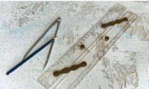
In a recent issue of the Rocky Mountain Classic’s Chapter’s newsletter, the Bilge Pump, we went over the marine compass and what it does and doesn’t do. So where do we go from there? There are two distinct ways. One is to press the power button on your GPS/Chartplotter. Two is to take out your chart, parallel rulers, dividers and a pencil and plot your course on your chart. Sounds time consuming, but not really after some practice.
 Most of your newer GPS/Chartplotters can draw a course line for you by inputting your present position and your destination, and then all the pertinent information will be displayed. In my opinion that takes all the fun out of going from point A to point B. Another thing to consider is a power failure. It can happen, and if it does you are going to have to rely on your paper chart and traditional methods of piloting. That happened to me.
We were on our way to Block Island from Shelter Island and when I got into Block Island Sound I got on the radio for a radio check. Absolutely nothing. Every electronic was down. We returned to Shelter Island to solve the problem, but that is another story . . .
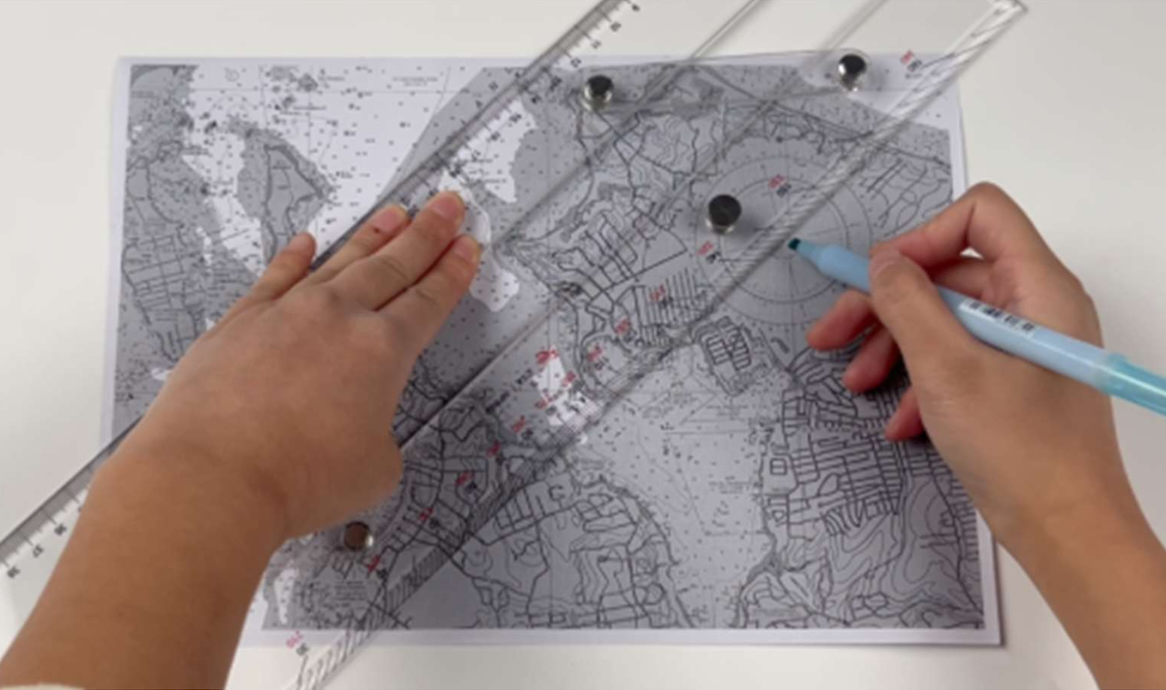
Where do we begin? First of all, you use your chart to draw straight lines to your destination. You plot from one buoy to another until you get to your destination. Then you use a parallel ruler from the line that you drew to the compass rose and when an arm crosses the center read the direction and the “True” degrees. When you get this you move to the next step and that is correcting for compass.
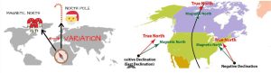
We use T,V,M,D,C. This stands for true, variation, magnetic, deviation, compass. As we plot to true which is the outer ring of the compass rose, we have to apply variation which is the difference between true north a geographic point and magnetic north. That information is on the compass rose. When that is calculated you now have your magnetic heading.
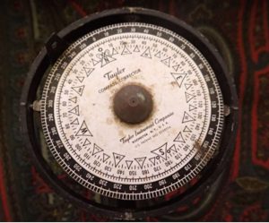
 But there might be some deviation in your compass. There might be something that pulls your compass off which can be a magnetic anomaly, or the compass is just off. How do you find this out? Easy way is to get a compass corrector to figure this out and make up a deviation table for you. When this is applied to your calculations you now have the compass direction on which to follow.
 It may seem complicated, but it really isn’t, and it is actually enjoyable. The new electronics make instant captains of boat owners, but they really have little knowledge of what is really happening. This is just a short intro into this. If you have any pressing questions, just ask.